
22 Oct 2026
GIS Trends Reshaping Economic Development
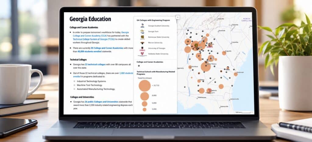

Economic development decisions begin with a fundamental question: WHY HERE?
Communities compete for investment, talent, and business growth based on factors such as workforce availability, infrastructure, transportation access, land readiness, and quality of life. Increasingly, Geographic Information Systems (GIS) are becoming a technology that brings all those factors together.
While GIS was once viewed primarily as a mapping tool, today’s geospatial platforms support advanced analytics, artificial intelligence, data visualization, field operations, and strategic decision-making. As organizations strive to become more data-driven, GIS is emerging as one of the most valuable technologies in the economic developer’s toolbox.
Across the geospatial field, emerging technologies and evolving practices are changing how organizations use location intelligence to guide investment, planning, and long-term growth.
Artificial Intelligence is Enhancing GIS Workflows
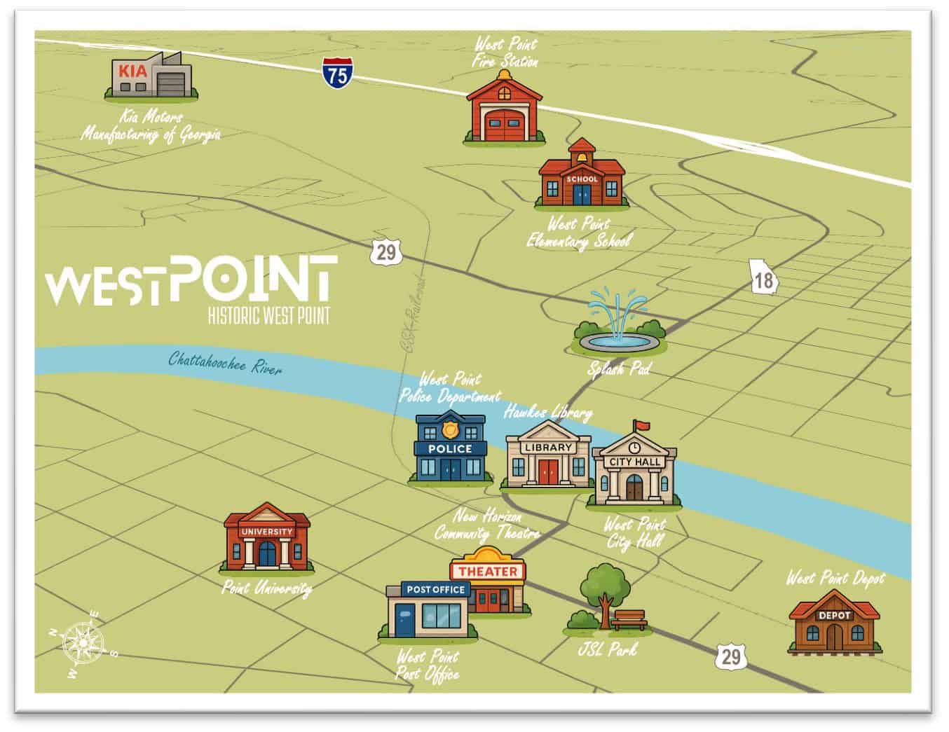
Artificial intelligence has quickly moved from industry buzzwords to practical business tools. In GIS, AI helps professionals automate repetitive tasks, analyze large datasets more efficiently, and uncover patterns.
The real opportunity is not replacing human expertise but allowing economic development professionals to focus more time on strategy, relationship building, and project execution.
Storytelling Through Maps is More Important Than Ever
Economic development has always involved telling a community’s story. The difference today is that GIS allows organizations to tell that story visually, interactively, and with supporting data.
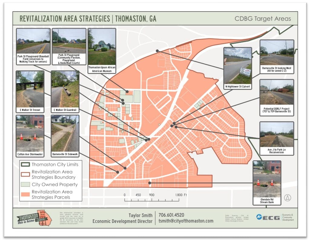
Modern mapping platforms enable communities to present information through web maps, dashboards, and StoryMaps that combine data, images, graphics, text, and multimedia into a single experience. Internal economic development materials increasingly emphasize the use of StoryMaps, thematic maps, demographic visualization, site analysis, and conceptual development graphics to communicate opportunities to stakeholders and prospects.
Rather than handing a prospect a static PDF, organizations can now provide interactive experiences. The result is a more engaging and compelling story for site selectors and investors.
Web GIS is Expanding Access to Information
The expectation today is that information should be accessible anytime and anywhere. GIS platforms have evolved to meet those expectations through modern web applications and cloud-based solutions. Economic development organizations are increasingly using web GIS to provide property databases, community profiles, infrastructure inventories, and more. These tools improve transparency while helping prospects find information independently and efficiently.
Data Governance is Becoming a Strategic Priority
Data is one of the most valuable assets an organization possesses, but its value depends on quality, consistency, and trust. As GIS becomes integrated into decision-making processes, organizations are paying greater attention to governance, stewardship, metadata, standards, and maintenance practices. Discussions throughout the geospatial industry increasingly emphasize governance as a foundational element of successful GIS programs. For economic development professionals, reliable data strengthens investor confidence, community benchmarking, and long-range strategic planning. High-quality data enables better decisions and reduces uncertainty for both communities and businesses.

3D Visualization and Drone Technology Continue to Grow
The use of drones, LiDAR, and 3D visualization technologies has expanded rapidly over the last several years. What once required specialized consultants and significant budgets can now be incorporated into many local GIS programs. Economic development applications include industrial site marketing, infrastructure visualization, redevelopment planning, and public engagement initiatives. Three-dimensional visualizations help decision-makers and the public better understand existing conditions and proposed developments before construction begins.
Looking Ahead
As economic development becomes increasingly competitive, communities must make faster, more informed decisions while communicating their advantages more effectively than ever before.
GIS is uniquely positioned to meet those demands. By combining location intelligence, visualization, analytics, and emerging technologies, GIS helps organizations move beyond simply displaying information toward generating actionable insight.
The future of economic development will continue to be driven by data, but the organizations that succeed will be those that can transform data into understanding. GIS provides a framework for doing exactly that, helping communities not only map where they are today, but also chart where they want to go tomorrow.
References
Esri. Economic Development.
Esri. How Geospatial AI Is Transforming Common GIS Workflows. ArcWatch, 2026.
Esri. Geospatial AI.
Esri. Geospatial AI Overview. ArcGIS Architecture Center.
Esri. AI in ArcGIS StoryMaps Documentation.
Esri. Using the ArcGIS StoryMaps AI Assistant to Your Benefit. 2025.
Esri. The Next Era of AI and ArcGIS. ArcNews, 2025.
Sovik, Brian and John Puente. GIS Data Management & Governance Workshop: Data Governance Roadmap to Success. 2026. Workshop presentation.
Electric Cities of Georgia. Economic & Community Development Brochure, 2026.